
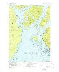
1951 Map of Sitka A-5
USGS Topo · Published 1963About this map
Sitka and the nearby Indian Vil anchor the southeastern corner of this maritime survey, showcasing the area's intricate coastal geography in the early 1950s. The map highlights the complex network of waterways surrounding Baranof Island, including the Eastern Channel and Middle Channel. Historic sites such as the Old Sitka (Ruins) on Starrigavan Bay point to earlier periods of settlement, while the Army Camp (Abandoned) on Kruzof Island and the Seaplane Base on Japonski Island reflect the mid-century military and aviation footprint in the region.
Find a feature on this map
86 named features on this map. Tap any name to fly to it.
Don’t see what you’re looking for? This feature index may not catch every label — zoom into the map to look around manually.
Map Details
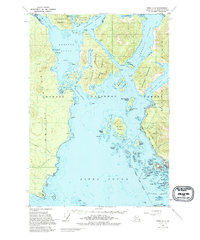
Editions of this 1951 Sitka A-5 Map
Other maps of this area

1948 · Sitka A-5
USGS Topo · 1:63,360

1948 · Sitka B-5
USGS Topo · 1:63,360

1951 · Sitka B-4
USGS Topo · 1:63,360

1951 · Sitka A-6
USGS Topo · 1:63,360

1951 · Sitka B-6
USGS Topo · 1:63,360

1951 · Sitka B-5
USGS Topo · 1:63,360

1951 · Port Alexander D-5
USGS Topo · 1:63,360

1951 · Sitka
USGS Topo · 1:250,000

1951 · Port Alexander D-4
USGS Topo · 1:63,360

1951 · Port Alexander
USGS Topo · 1:250,000