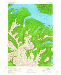
1951 Map of Sitka B-4
USGS Topo · Published 1965About this map
Peril Strait separates the massive landforms of Baranof Island and Chichagof Island in this early 1950s survey of the Alaska Panhandle. The landscape is dominated by glacial carving and dense waterways, where Rodman Bay and Saook Bay cut deep into the northern coast of Baranof Island. Evidence of maritime navigation and early interior access is found at Lindenberg Harbor and a lone Shelter Cabin positioned along the shoreline near Hanus Bay.
Find a feature on this map
34 named features on this map. Tap any name to fly to it.
Don’t see what you’re looking for? This feature index may not catch every label — zoom into the map to look around manually.
Map Details
Editions of this 1951 Sitka B-4 Map
3 editions found
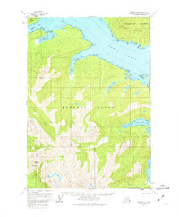
Other maps of this area

1948 · Sitka B-3
USGS Topo · 1:63,360

1948 · Sitka A-5
USGS Topo · 1:63,360

1948 · Sitka A-3
USGS Topo · 1:63,360

1948 · Sitka C-3
USGS Topo · 1:63,360

1948 · Sitka B-5
USGS Topo · 1:63,360

1951 · Sitka B-4
USGS Topo · 1:63,360

1951 · Sitka C-5
USGS Topo · 1:63,360

1951 · Sitka C-4
USGS Topo · 1:63,360

1951 · Sitka B-5
USGS Topo · 1:63,360

1951 · Sitka
USGS Topo · 1:250,000