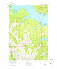
1951 Map of Sitka B-4
USGS Topo · Published 1974About this map
Peril Strait serves as the central waterway of this coastal survey, separating the southern reaches of Chichagof Island from the northern coast of Baranof Island. The maritime character of the region is defined by deep inlets like Rodman Bay and Saook Bay, where the shoreline transitions into significant tidal areas such as Paradise Flats. The interior is marked by the Moore Mountains and prominent peaks like Annahootz Mountain and Mt Rosenberg.
Find a feature on this map
37 named features on this map. Tap any name to fly to it.
Don’t see what you’re looking for? This feature index may not catch every label — zoom into the map to look around manually.
Map Details
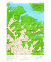
Editions of this 1951 Sitka B-4 Map
3 editions found
Other maps of this area

1948 · Sitka B-3
USGS Topo · 1:63,360

1948 · Sitka A-5
USGS Topo · 1:63,360

1948 · Sitka A-3
USGS Topo · 1:63,360

1948 · Sitka C-3
USGS Topo · 1:63,360

1948 · Sitka B-5
USGS Topo · 1:63,360

1951 · Sitka B-4
USGS Topo · 1:63,360

1951 · Sitka C-5
USGS Topo · 1:63,360

1951 · Sitka C-4
USGS Topo · 1:63,360

1951 · Sitka B-5
USGS Topo · 1:63,360

1951 · Sitka
USGS Topo · 1:250,000