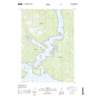
2017 Map of Sitka B-5 NW
USGS Topo · Published 2017About this map
Peril Strait serves as the central maritime artery in this 2017 survey, dividing the coastlines of Chichagof Island and Baranof Island. The complex hydrography of the region is defined by tight navigable passages like Sergius Narrows and Sergius Channel, where small islands and hazardous rocks such as Midway Rock and Grasstop Rock emerge from the tidal waters. Much of the land is preserved within the Tongass National Forest, showing a landscape dominated by steep elevations and sheltered inlets.
Find a feature on this map
50 named features on this map. Tap any name to fly to it.
Don’t see what you’re looking for? This feature index may not catch every label — zoom into the map to look around manually.
Map Details
Editions of this 2017 Sitka B-5 NW Map
This is the sole edition of this map. No revisions or reprints were ever made.
Other maps of this area

1948 · Sitka C-6
USGS Topo · 1:63,360

1948 · Sitka B-5
USGS Topo · 1:63,360

1951 · Sitka C-5
USGS Topo · 1:63,360

1951 · Sitka B-6
USGS Topo · 1:63,360

1951 · Sitka B-5
USGS Topo · 1:63,360

1951 · Sitka
USGS Topo · 1:250,000

1951 · Sitka C-6
USGS Topo · 1:63,360

1952 · Sitka
USGS Topo · 1:250,000

1964 · Sitka
USGS Topo · 1:250,000
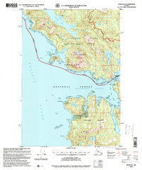
1996 · Sitka B-6
USGS Topo · 1:63,360