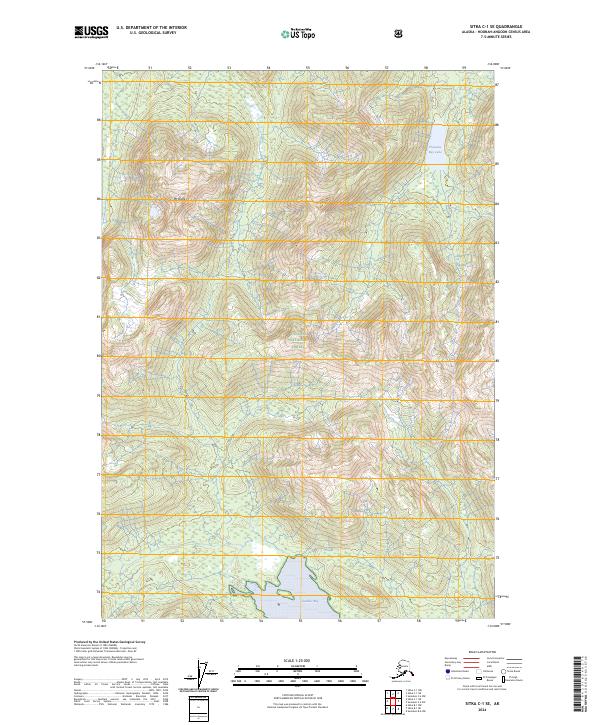
2024 Map of Sitka C-1 SE
USGS Topo · Published 2024About this map
Kootznoowoo Wilderness defines the interior of this map, reflecting a landscape designated for its cultural and ecological significance on Admiralty Island. The terrain is marked by high summits like Mt Distik, which rises amidst the dense coverage of the Tongass National Forest. The map captures the meeting of fresh and salt water, from the inland Pleasant Bay Lake to the southern tidal reaches of Gambier Bay. This 2024 survey illustrates the complex jurisdictional boundaries of the Admiralty Island National Monument, where remote wilderness remains the primary character of the land. The presence of these protected areas highlights a commitment to preserving the temperate rainforest and rugged coastlines of the Hoonah-Angoon Census Area.
Find a feature on this map
10 named features on this map. Tap any name to fly to it.
Don’t see what you’re looking for? This feature index may not catch every label — zoom into the map to look around manually.
Map Details
Editions of this 2024 Sitka C-1 SE Map
This is the sole edition of this map. No revisions or reprints were ever made.
Other maps of this area

1948 · Sitka B-1
USGS Topo · 1:63,360

1948 · Sitka C-1
USGS Topo · 1:63,360

1948 · Sumdum B-6
USGS Topo · 1:63,360

1948 · Sumdum C-6
USGS Topo · 1:63,360

1951 · Sitka
USGS Topo · 1:250,000

1951 · Sitka C-1
USGS Topo · 1:63,360

1951 · Sitka B-1
USGS Topo · 1:63,360

1951 · Sumdum C-6
USGS Topo · 1:63,360

1952 · Sumdum
USGS Topo · 1:250,000

1952 · Sitka
USGS Topo · 1:250,000