
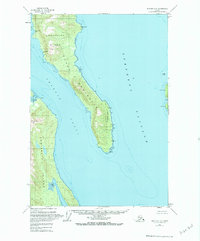
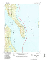
1951 Map of Sumdum C-6
USGS Topo · Published 1974About this map
Glass Peninsula and the eastern coast of Admiralty Island dominate this mid-century coastal survey. Separated by the waters of Seymour Canal, the landscape is defined by its deep inlets and maritime landmarks. The southern tip of the peninsula is notably designated as the Lighthouse Reserve, indicating its importance for regional navigation through Stephens Passage. This specific edition, though field-annotated in 1951, incorporates hydrographic data reaching back to 1889 surveys, providing a layered perspective of the shoreline.
Find a feature on this map
17 named features on this map. Tap any name to fly to it.
Don’t see what you’re looking for? This feature index may not catch every label — zoom into the map to look around manually.
Map Details
Editions of this 1951 Sumdum C-6 Map
3 editions found
Other maps of this area

1948 · Sitka D-1
USGS Topo · 1:63,360

1948 · Sitka B-1
USGS Topo · 1:63,360

1948 · Sitka C-1
USGS Topo · 1:63,360

1948 · Sumdum D-6
USGS Topo · 1:63,360

1948 · Sumdum C-5
USGS Topo · 1:63,360

1948 · Sumdum B-6
USGS Topo · 1:63,360

1948 · Sumdum C-6
USGS Topo · 1:63,360

1948 · Sumdum B-5
USGS Topo · 1:63,360

1948 · Sumdum D-5
USGS Topo · 1:63,360

1951 · Sitka
USGS Topo · 1:250,000