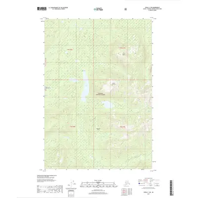
2017 Map of Sitka C-1 SW
USGS Topo · Published 2017About this map
Admiralty Island dominates this landscape within the Tongass National Forest, showing a wilderness shaped by complex hydrography and significant elevation. The map center is defined by Jims Lake and the drainage of Jims Cr, which transition into a high alpine environment to the east. Here, Yellow Bear Mtn and Botany Peak rise sharply, providing a clear view of the topographical relief and glacial-carved valleys typical of Southeast Alaska. To the north and west, the flow of Hasselborg Cr and the Mole River delineate the lowland drainage patterns that support the region's dense temperate rainforest. The absence of roads or permanent settlements emphasizes the character of this protected forest land as it appeared during the 2017 survey.
Find a feature on this map
12 named features on this map. Tap any name to fly to it.
Don’t see what you’re looking for? This feature index may not catch every label — zoom into the map to look around manually.
Map Details
Editions of this 2017 Sitka C-1 SW Map
This is the sole edition of this map. No revisions or reprints were ever made.
Other maps of this area

1948 · Sitka B-1
USGS Topo · 1:63,360

1948 · Sitka C-2
USGS Topo · 1:63,360

1948 · Sitka C-1
USGS Topo · 1:63,360

1948 · Sitka B-2
USGS Topo · 1:63,360

1951 · Sitka
USGS Topo · 1:250,000

1951 · Sitka C-1
USGS Topo · 1:63,360

1951 · Sitka B-2
USGS Topo · 1:63,360

1951 · Sitka B-1
USGS Topo · 1:63,360

1951 · Sitka C-2
USGS Topo · 1:63,360

1952 · Sitka
USGS Topo · 1:250,000