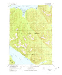
1951 Map of Sitka C-4
USGS Topo · Published 1977About this map
Chichagof Island dominates this mid-century topographic survey, where the saltwater of Tenakee Inlet and Peril Strait carves a complex coastline of bays and points. The landscape is defined by the high peaks of the Moore Mountains and a network of freshwater systems including Kook Lake and Sitkoh Lake. Local activity at this time is evidenced by isolated clusters of cabins along the shores of Kadashan Bay and near Trap Bay. The map provides a look at the wilderness before extensive modern development, showing the natural drainage of the Kadashan River and Hook Creek as they flow toward the sea. Notable coastal landmarks such as Pt Elizabeth, False Island, and the Peninsula on Baranof Island serve as critical navigation points within the Tongass National Forest.
Find a feature on this map
35 named features on this map. Tap any name to fly to it.
Don’t see what you’re looking for? This feature index may not catch every label — zoom into the map to look around manually.
Map Details
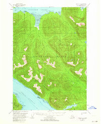
Editions of this 1951 Sitka C-4 Map
3 editions found
Other maps of this area

1948 · Sitka B-3
USGS Topo · 1:63,360

1948 · Sitka C-3
USGS Topo · 1:63,360

1948 · Sitka D-5
USGS Topo · 1:63,360

1948 · Sitka D-3
USGS Topo · 1:63,360

1948 · Sitka D-4
USGS Topo · 1:63,360

1948 · Sitka B-5
USGS Topo · 1:63,360

1951 · Sitka B-4
USGS Topo · 1:63,360

1951 · Sitka C-5
USGS Topo · 1:63,360

1951 · Sitka C-4
USGS Topo · 1:63,360

1951 · Sitka B-5
USGS Topo · 1:63,360