
1951 Map of Sitka D-1
USGS Topo · Published 1963About this map
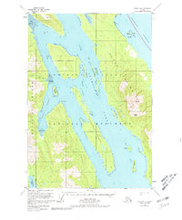
Admiralty Island dominates this 1950s coastal survey, revealing a landscape defined by deep waterways and towering peaks within the Tongass National Forest. The intricate coastline is marked by Seymour Canal and Windfall Harbor, where navigational points like Late Pt and Staunch Pt guided maritime traffic through the Alexander Archipelago. Inland, the topography rises sharply toward the Glass Mountains, featuring prominent landmarks such as Randolph Peak and Morse Peak.
Find a feature on this map
29 named features on this map. Tap any name to fly to it.
Don’t see what you’re looking for? This feature index may not catch every label — zoom into the map to look around manually.
Map Details
Editions of this 1951 Sitka D-1 Map
2 editions found
Other maps of this area

1948 · Sitka D-1
USGS Topo · 1:63,360

1948 · Sitka C-2
USGS Topo · 1:63,360

1948 · Sitka D-2
USGS Topo · 1:63,360

1948 · Sitka C-1
USGS Topo · 1:63,360

1948 · Sumdum D-6
USGS Topo · 1:63,360

1948 · Sumdum C-6
USGS Topo · 1:63,360

1951 · Juneau
USGS Topo · 1:250,000

1951 · Taku River A-6
USGS Topo · 1:63,360

1951 · Juneau A-2
USGS Topo · 1:63,360

1951 · Sitka
USGS Topo · 1:250,000