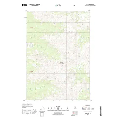
2017 Map of Sitka D-2 SE
USGS Topo · Published 2017About this map
Tongass National Forest dominates this topographic study of the Admiralty Island interior, showcasing a landscape defined by high ridges and drainage networks. The map details the headwaters of Ward Cr in the north and the westward flow of Fishery Cr in the south, reflecting the complex hydrology of the Alexander Archipelago. Near the southeastern corner, the waters of Hasselborg Lake emerge, providing a key geographical anchor for researchers of this wilderness area. Surveyed by the U.S. Geological Survey, the grid reveals the formal boundaries of Township 46 South and Township 47 South, illustrating the systematic mapping of this remote terrain.
Find a feature on this map
8 named features on this map. Tap any name to fly to it.
Don’t see what you’re looking for? This feature index may not catch every label — zoom into the map to look around manually.
Map Details
Editions of this 2017 Sitka D-2 SE Map
This is the sole edition of this map. No revisions or reprints were ever made.
Other maps of this area

1948 · Sitka D-1
USGS Topo · 1:63,360

1948 · Sitka C-2
USGS Topo · 1:63,360

1948 · Sitka D-2
USGS Topo · 1:63,360

1948 · Sitka C-1
USGS Topo · 1:63,360

1951 · Sitka
USGS Topo · 1:250,000

1951 · Sitka D-1
USGS Topo · 1:63,360

1951 · Sitka C-1
USGS Topo · 1:63,360

1951 · Sitka D-2
USGS Topo · 1:63,360

1951 · Sitka C-2
USGS Topo · 1:63,360

1952 · Sitka
USGS Topo · 1:250,000