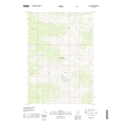
2021 Map of Sitka D-2 SE
USGS Topo · Published 2021About this map
Tongass National Forest dominates this coastal Alaskan landscape, represented here in a contemporary digital topographical study. The terrain is characterized by high-relief contours and steep drainages, where Ward Cr and Fishery Cr carve through the heavily forested interior. This portion of the Hoonah-Angoon Census Area shows no modern road infrastructure or permanent settlements, reflecting the managed wilderness state of the national forest system. The map provides precise surveying of township and range lines, specifically within t46s r67e, t46s r68e, t47s r67e, and t47s r68e, which serve as primary reference points for land management and environmental study in this roadless territory.
Find a feature on this map
7 named features on this map. Tap any name to fly to it.
Don’t see what you’re looking for? This feature index may not catch every label — zoom into the map to look around manually.
Map Details
Editions of this 2021 Sitka D-2 SE Map
This is the sole edition of this map. No revisions or reprints were ever made.
Other maps of this area

1948 · Sitka D-1
USGS Topo · 1:63,360

1948 · Sitka C-2
USGS Topo · 1:63,360

1948 · Sitka D-2
USGS Topo · 1:63,360

1948 · Sitka C-1
USGS Topo · 1:63,360

1951 · Sitka
USGS Topo · 1:250,000

1951 · Sitka D-1
USGS Topo · 1:63,360

1951 · Sitka C-1
USGS Topo · 1:63,360

1951 · Sitka D-2
USGS Topo · 1:63,360

1951 · Sitka C-2
USGS Topo · 1:63,360

1952 · Sitka
USGS Topo · 1:250,000