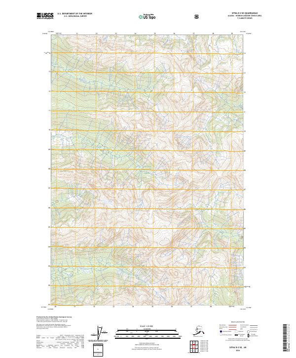
2024 Map of Sitka D-2 SE
USGS Topo · Published 2024About this map
Admiralty Island National Monument defines this landscape on northern Admiralty Island, where the Kootznoowoo Wilderness preserves a roadless expanse of temperate rainforest and alpine terrain. Managed in coordination with the Tongass National Forest, the area is marked by significant drainages including Ward Creek to the north and Fishery Creek to the south. These watersheds are central to the local ecosystem, supporting the subsistence and natural resources vital to the Hoonah-Angoon region. This 2024 survey by the U.S. Geological Survey provides a precise record of the current wilderness boundaries and topographic elevations, illustrating the intricate network of peaks and drainages that characterize this protected island interior.
Find a feature on this map
9 named features on this map. Tap any name to fly to it.
Don’t see what you’re looking for? This feature index may not catch every label — zoom into the map to look around manually.
Map Details
Editions of this 2024 Sitka D-2 SE Map
This is the sole edition of this map. No revisions or reprints were ever made.
Other maps of this area

1948 · Sitka D-1
USGS Topo · 1:63,360

1948 · Sitka C-2
USGS Topo · 1:63,360

1948 · Sitka D-2
USGS Topo · 1:63,360

1948 · Sitka C-1
USGS Topo · 1:63,360

1951 · Sitka
USGS Topo · 1:250,000

1951 · Sitka D-1
USGS Topo · 1:63,360

1951 · Sitka C-1
USGS Topo · 1:63,360

1951 · Sitka D-2
USGS Topo · 1:63,360

1951 · Sitka C-2
USGS Topo · 1:63,360

1952 · Sitka
USGS Topo · 1:250,000