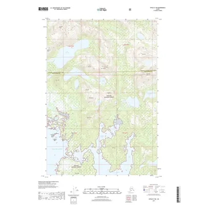
2017 Map of Sitka D-7 SW
USGS Topo · Published 2017About this map
Tongass National Forest encompasses this intricate coastal landscape where the Gulf of Alaska meets a complex network of fjords and islands. The shoreline is defined by sheltered waters such as Mirror Harbor, Goulding Harbor, and Baker Cove, which provide a contrast to the high peaks of the interior. Elevations rise sharply from sea level to summits like Mt Douglas, Mt Barness, and Mt Pinta, while numerous high-altitude basins hold isolated water bodies including Lake Elfendahl and Lake Smiley.
Find a feature on this map
49 named features on this map. Tap any name to fly to it.
Don’t see what you’re looking for? This feature index may not catch every label — zoom into the map to look around manually.
Map Details
Editions of this 2017 Sitka D-7 SW Map
This is the sole edition of this map. No revisions or reprints were ever made.
Other maps of this area

1948 · Sitka C-7
USGS Topo · 1:63,360

1948 · Sitka D-8
USGS Topo · 1:63,360

1950 · Sitka D-8
USGS Topo · 1:63,360

1951 · Sitka D-7
USGS Topo · 1:63,360

1951 · Sitka
USGS Topo · 1:250,000

1951 · Sitka C-7
USGS Topo · 1:63,360

1952 · Sitka
USGS Topo · 1:250,000

1964 · Sitka
USGS Topo · 1:250,000
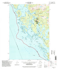
1994 · Sitka C-7
USGS Topo · 1:63,360
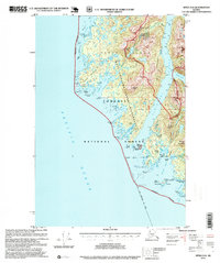
1995 · Sitka D-8
USGS Topo · 1:63,360