
1951 Map of Sitka C-7
USGS Topo · Published 1964About this map
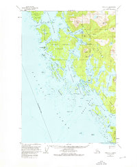
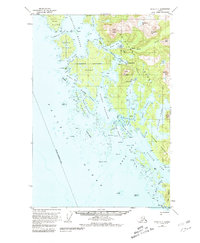
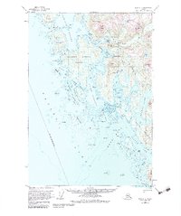
Chichagof and the smaller settlement of Klag represent the primary human outposts on this complex coastline within the Takeena Peninsula and surrounding islands. The map details a labyrinthine network of waterways including Klag Bay, Slocum Arm, and Ogden Passage, which were vital for maritime navigation and the local mining economy. Steep coastal peaks like Doolth Mountain and Whitestripe Mtn tower over Kimshan Cove and Black Bay, illustrating the vertical nature of the Alaskan wilderness. Small inlets and hazards such as Ninefoot Shoal and Khaz Breakers are documented from mid-century hydrographic charts, reflecting the region's dependence on sea travel before the advent of modern infrastructure. The presence of Herbert Graves Island and Hill Island creates protected corridors like Imperial Passage, shielding inner harbors from the open Pacific Ocean.
Find a feature on this map
81 named features on this map. Tap any name to fly to it.
Don’t see what you’re looking for? This feature index may not catch every label — zoom into the map to look around manually.
Map Details
Editions of this 1951 Sitka C-7 Map
4 editions found
Other maps of this area

1948 · Sitka C-7
USGS Topo · 1:63,360

1948 · Sitka C-6
USGS Topo · 1:63,360

1948 · Sitka D-6
USGS Topo · 1:63,360

1948 · Sitka D-8
USGS Topo · 1:63,360

1950 · Sitka D-8
USGS Topo · 1:63,360

1951 · Sitka D-7
USGS Topo · 1:63,360

1951 · Sitka B-6
USGS Topo · 1:63,360

1951 · Sitka
USGS Topo · 1:250,000

1951 · Sitka C-6
USGS Topo · 1:63,360

1951 · Sitka D-6
USGS Topo · 1:63,360