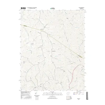
2016 Map of Sitka
USGS Topo · Published 2016About this map
Sitka and the surrounding hill country of eastern Kentucky appear here in a landscape defined by narrow hollows and winding creek beds. This modern survey illustrates how settlement patterns follow the drainages of Toms Cr and Hood Cr, with small communities such as Winifred and Chandlerville established at key valley junctions. The map is particularly useful for genealogical research, documenting numerous family burial sites tucked into the terrain, including the Stambaugh Cem near Rothwell Branch and the Pack and Chandler Cem further north.
Find a feature on this map
90 named features on this map. Tap any name to fly to it.
Don’t see what you’re looking for? This feature index may not catch every label — zoom into the map to look around manually.
Map Details
Editions of this 2016 Sitka Map
This is the sole edition of this map. No revisions or reprints were ever made.
Other maps of this area

1886 · Prestonsburg
USGS Topo · 1:125,000

1892 · Prestonsburg
USGS Topo · 1:125,000

1903 · Kenova
USGS Topo · 1:125,000

1904 · Kenova
USGS Topo · 1:125,000

1911 · Louisa
USGS Topo · 1:48,000

1913 · Louisa
USGS Topo · 1:62,500

1914 · Inez
USGS Topo · 1:48,000

1915 · Paintsville
USGS Topo · 1:48,000

1916 · Inez
USGS Topo · 1:62,500

1917 · Paintsville
USGS Topo · 1:62,500