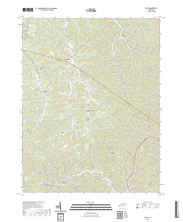
2022 Map of Sitka
USGS Topo · Published 2022About this map
Sitka and Chandlerville anchor this detailed study of the highly dissected terrain where Johnson Co meets Lawrence Co. The landscape is defined by a dense network of hollows and branches, such as Broad Hollow and Barn Hollow, which historically dictated the winding path of local infrastructure. Small, family-named settlements like Sip, Kerz, and Winifred are tucked into the valley floors, connected by narrow roads that follow the natural contours of the land.
Find a feature on this map
110 named features on this map. Tap any name to fly to it.
Don’t see what you’re looking for? This feature index may not catch every label — zoom into the map to look around manually.
Map Details
Editions of this 2022 Sitka Map
This is the sole edition of this map. No revisions or reprints were ever made.
Other maps of this area

1886 · Prestonsburg
USGS Topo · 1:125,000

1892 · Prestonsburg
USGS Topo · 1:125,000

1903 · Kenova
USGS Topo · 1:125,000

1904 · Kenova
USGS Topo · 1:125,000

1911 · Louisa
USGS Topo · 1:48,000

1913 · Louisa
USGS Topo · 1:62,500

1914 · Inez
USGS Topo · 1:48,000

1915 · Paintsville
USGS Topo · 1:48,000

1916 · Inez
USGS Topo · 1:62,500

1917 · Paintsville
USGS Topo · 1:62,500