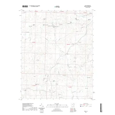
2020 Map of Sitka
USGS Topo · Published 2020About this map
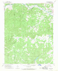
Sitka is situated in a landscape of narrow hollows and prominent ridges in northern Sharp County, Arkansas. The topography is defined by the elevation changes between Hickory Ridge and the various drainage basins of Hurricane Cr and Mill Cr. Cultural markers such as Hopewell Cem, Schales Cem, and Buchanan Cem provide vital points for family history research and mapping old property lines. In the northern reaches, Spring River cuts through the terrain near Hurricane Bluff, while the southern portion transitions toward the Strawberry River Rd corridor. The naming conventions of the area's hollows, including Bubbling Spring Hollow and Muncie Hollow, suggest a long history of spring-fed agriculture and small-scale land divisions among ridges like Divide Hill and Buck Ridge.
Find a feature on this map
81 named features on this map. Tap any name to fly to it.
Don’t see what you’re looking for? This feature index may not catch every label — zoom into the map to look around manually.
Map Details
Editions of this 2020 Sitka Map
This is the sole edition of this map. No revisions or reprints were ever made.
Other maps of this area

1957 · Poplar Bluff
USGS Topo · 1:250,000

1959 · Poplar Bluff
USGS Topo · 1:250,000

1960 · Poplar Bluff
USGS Topo · 1:250,000
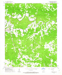
1961 · Evening Shade
USGS Topo · 1:24,000

1962 · Stuart
USGS Topo · 1:24,000

1962 · Ash Flat
USGS Topo · 1:24,000
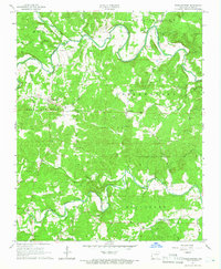
1965 · Poughkeepsie
USGS Topo · 1:24,000
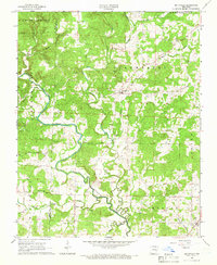
1965 · Smithville
USGS Topo · 1:24,000

1968 · Hardy
USGS Topo · 1:24,000
1968 · Ravenden
USGS Topo · 1:24,000