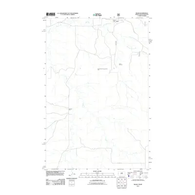
2011 Map of Skaar
USGS Topo · Published 2011About this map
Skaar and the nearby Metcalf Ranch anchor this landscape of the western North Dakota badlands, where the cattle industry and water management define the local geography. The territory is deeply etched by a complex drainage system, including the extensive Smith Creek and its tributaries, North Fork Smith Creek and South Fork Smith Creek, alongside the curiously named C S Creek.
Find a feature on this map
15 named features on this map. Tap any name to fly to it.
Don’t see what you’re looking for? This feature index may not catch every label — zoom into the map to look around manually.
Map Details
Editions of this 2011 Skaar Map
This is the sole edition of this map. No revisions or reprints were ever made.
Other maps of this area

1909 · Glendive
USGS Topo · 1:250,000

1953 · Watford City
USGS Topo · 1:250,000

1954 · Glendive
USGS Topo · 1:250,000

1957 · Glendive
USGS Topo · 1:250,000

1957 · Watford City
USGS Topo · 1:250,000

1958 · Glendive
USGS Topo · 1:250,000

1966 · Skaar NW
USGS Topo · 1:24,000

1967 · Watford City
USGS Topo · 1:250,000

1974 · Hootowl Creek West
USGS Topo · 1:24,000

1974 · Trotters
USGS Topo · 1:24,000