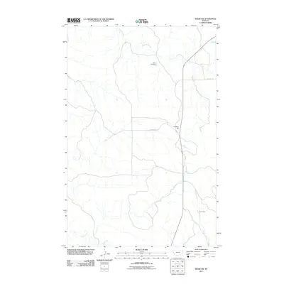
2011 Map of Skaar NW
USGS Topo · Published 2011About this map
Shadwell Creek and its tributaries carve through the Montana prairie in this 2011 survey of Richland County. The landscape is defined by the management of water in a semi-arid environment, evidenced by infrastructure like the Born Free Dam in the north and The Ox Dam further south along Deadman Creek. These water-retaining features are critical landmarks in a region dominated by ranching and open range.
Find a feature on this map
8 named features on this map. Tap any name to fly to it.
Don’t see what you’re looking for? This feature index may not catch every label — zoom into the map to look around manually.
Map Details
Editions of this 2011 Skaar NW Map
This is the sole edition of this map. No revisions or reprints were ever made.
Other maps of this area

1909 · Glendive
USGS Topo · 1:250,000

1954 · Glendive
USGS Topo · 1:250,000

1957 · Glendive
USGS Topo · 1:250,000

1958 · Glendive
USGS Topo · 1:250,000

1966 · Savage
USGS Topo · 1:24,000

1966 · Savage SE
USGS Topo · 1:24,000

1966 · Piche
USGS Topo · 1:24,000

1966 · Crane
USGS Topo · 1:24,000

1966 · Skaar NW
USGS Topo · 1:24,000

1972 · Sidney SE
USGS Topo · 1:24,000