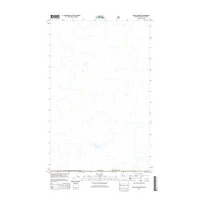
2014 Map of Skagit Peak OE N
USGS Topo · Published 2014About this map
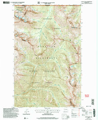
The international border between Canada / United States of America defines this remote wilderness landscape, which traces the divide between British Columbia and Washington. Located primarily within Whatcom Co, the terrain is defined by a dense network of unnamed alpine drainages and high-elevation topography typical of the North Cascades. This 2014 survey captures a section of the northern border where the United States and Canada meet in a landscape devoid of named settlements or infrastructure, emphasizing the sheer scale of the trans-border mountain corridor. The map's primary utility lies in its precise demarcation of the geopolitical boundary as it was recorded at the start of the twenty-first century, offering a baseline for environmental and border studies in a largely untouched region.
Find a feature on this map
3 named features on this map. Tap any name to fly to it.
Don’t see what you’re looking for? This feature index may not catch every label — zoom into the map to look around manually.
Map Details
Editions of this 2014 Skagit Peak OE N Map
This is the sole edition of this map. No revisions or reprints were ever made.
Other maps of this area

1920 · Slate Pass
USGS Topo · 1:125,000

1955 · Concrete
USGS Topo · 1:250,000

1958 · Concrete
USGS Topo · 1:250,000

1962 · Concrete
USGS Topo · 1:250,000

1969 · Skagit Peak
USGS Topo · 1:24,000
1969 · Hozomeen Mtn
USGS Topo · 1:24,000

1979 · Mt. Baker
USGS Topo · 1:100,000
2002 · Hozomeen Mountain
USGS Topo · 1:24,000
2002 · Skagit Peak
USGS Topo · 1:24,000
2002 · Castle Peak
USGS Topo · 1:24,000