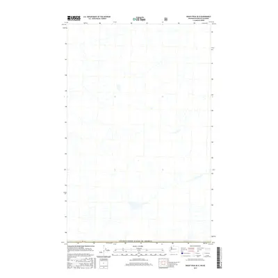
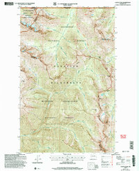
2017 Map of Skagit Peak OE N
USGS Topo · Published 2017About this map
The Canada/United States of America international border defines the southern extent of this 2017 topographic study. The landscape is dominated by the remote drainage basins and high-elevation terrain of the Fraser Valley Regional District, where intricate stream networks and topographical contours reflect the complex hydrology of the South Fraser Canyon area. While largely devoid of named human settlements, the map includes the surveyor’s marker Pb 39 along the boundary line. Produced as part of the National Map series, this sheet integrates data from the U.S. Forest Service and National Hydrography Dataset to document the precise transition from the northern United States into the British Columbia wilderness.
Find a feature on this map
2 named features on this map. Tap any name to fly to it.
Don’t see what you’re looking for? This feature index may not catch every label — zoom into the map to look around manually.
Map Details
Editions of this 2017 Skagit Peak OE N Map
This is the sole edition of this map. No revisions or reprints were ever made.
Other maps of this area

1920 · Slate Pass
USGS Topo · 1:125,000

1955 · Concrete
USGS Topo · 1:250,000

1958 · Concrete
USGS Topo · 1:250,000

1962 · Concrete
USGS Topo · 1:250,000

1969 · Skagit Peak
USGS Topo · 1:24,000
1969 · Hozomeen Mtn
USGS Topo · 1:24,000

1979 · Mt. Baker
USGS Topo · 1:100,000
2002 · Hozomeen Mountain
USGS Topo · 1:24,000
2002 · Skagit Peak
USGS Topo · 1:24,000
2002 · Castle Peak
USGS Topo · 1:24,000