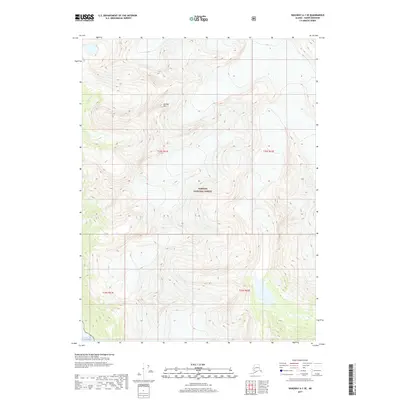
2017 Map of Skagway A-1 SE
USGS Topo · Published 2017About this map
Tongass National Forest dominates this landscape in the Haines Borough, where the high alpine terrain of Sinclair Mtn meets the saltwater of the Gulf of Alaska. The survey illustrates a transition from the drainage of Yeldagalga Cr in the northwest down to the coastal shoreline in the south. This area is characterized by steep elevation changes and significant glacial or snowfield coverage typical of the Alaskan panhandle. The map provides a precise look at the township and range boundaries, including t32s r61e and t33s r62e, which define the administrative layout of this protected wilderness near the turn of the 21st century.
Find a feature on this map
8 named features on this map. Tap any name to fly to it.
Don’t see what you’re looking for? This feature index may not catch every label — zoom into the map to look around manually.
Map Details
Editions of this 2017 Skagway A-1 SE Map
This is the sole edition of this map. No revisions or reprints were ever made.
Other maps of this area

1948 · Juneau D-3
USGS Topo · 1:63,360

1948 · Skagway A-1
USGS Topo · 1:63,360

1949 · Atlin
USGS Topo · 1:250,000

1949 · Juneau D-4
USGS Topo · 1:63,360

1949 · Juneau D-3
USGS Topo · 1:63,360

1951 · Juneau
USGS Topo · 1:250,000

1951 · Skagway A-1
USGS Topo · 1:63,360

1951 · Atlin
USGS Topo · 1:250,000

1951 · Juneau D-4
USGS Topo · 1:63,360

1952 · Skagway
USGS Topo · 1:250,000