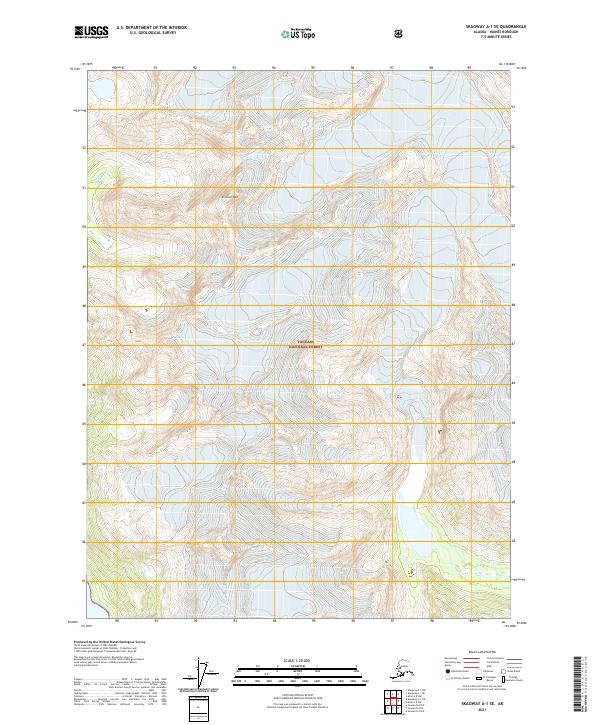
2021 Map of Skagway A-1 SE
USGS Topo · Published 2021About this map
Tongass National Forest dominates this Alaskan landscape, where the extreme vertical relief of the Coast Mountains is captured in fine detail. The terrain is defined by the massive presence of Sinclair Mtn and the drainage of Yellagalgau Cr, illustrating the glaciated topography of the Haines Borough. This 2021 survey reflects the modern cartographic standards of the National Geospatial Program, showing a wilderness area managed by the U.S. Forest Service without any established road networks or permanent settlements. The map provides a critical record of high-altitude drainages and topographic contours in a region where the natural environment remains the primary architect of the land.
Find a feature on this map
7 named features on this map. Tap any name to fly to it.
Don’t see what you’re looking for? This feature index may not catch every label — zoom into the map to look around manually.
Map Details
Editions of this 2021 Skagway A-1 SE Map
This is the sole edition of this map. No revisions or reprints were ever made.
Other maps of this area

1948 · Juneau D-3
USGS Topo · 1:63,360

1948 · Skagway A-1
USGS Topo · 1:63,360

1949 · Atlin
USGS Topo · 1:250,000

1949 · Juneau D-4
USGS Topo · 1:63,360

1949 · Juneau D-3
USGS Topo · 1:63,360

1951 · Juneau
USGS Topo · 1:250,000

1951 · Skagway A-1
USGS Topo · 1:63,360

1951 · Atlin
USGS Topo · 1:250,000

1951 · Juneau D-4
USGS Topo · 1:63,360

1952 · Skagway
USGS Topo · 1:250,000