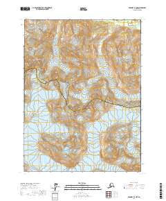
2017 Map of Skagway A-3 NW
USGS Topo · Published 2017About this map
The Takhinsha Mountains dominate this high-elevation wilderness within Glacier Bay National Park, where the terrain drops sharply toward the glacial valley floor. A shared boundary between Haines Borough Hoonah-Angoon Census Area snakes across the ridges, marking a remote political division in the Alaskan panhandle. The northern edge of the sheet is defined by the Takhin River, which cuts through the extreme topography of the northern Panhandle. The map's contour density reflects the verticality of this landscape, illustrating the challenges of the maritime mountain environment just miles from the coast. This study primarily documents the natural interface between the protected parklands and the surrounding borough, emphasizing the drainage patterns of the high ice fields and mountain slopes.
Find a feature on this map
10 named features on this map. Tap any name to fly to it.
Don’t see what you’re looking for? This feature index may not catch every label — zoom into the map to look around manually.
Map Details
Editions of this 2017 Skagway A-3 NW Map
This is the sole edition of this map. No revisions or reprints were ever made.
Other maps of this area

1952 · Skagway
USGS Topo · 1:250,000

1954 · Skagway A-3
USGS Topo · 1:63,360

1954 · Skagway B-3
USGS Topo · 1:63,360

1954 · Skagway B-4
USGS Topo · 1:63,360
1961 · Skagway A-4
USGS Topo · 1:63,360

1961 · Skagway
USGS Topo · 1:250,000
1991 · Skagway B-3 SW
USGS Topo · 1:25,000
1991 · Skagway B-3 SE
USGS Topo · 1:25,000
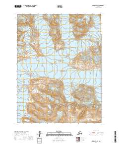
2017 · Skagway A-3 SE
USGS Topo · 1:25,000
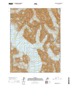
2017 · Skagway A-4 NE
USGS Topo · 1:25,000