
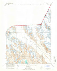
1954 Map of Skagway B-4
USGS Topo · Published 1960About this map
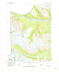
The Alaska-Yukon Border defines the northern edge of this rugged landscape, where the Haines Highway and a parallel Pipeline provide the primary corridor for movement through the mountain passes. Along the Klehini River, the small settlement of Pleasant Camp sits near the international boundary, while further downstream lies the site of Porcupine, hinting at the ebb and flow of early interior activity.
Find a feature on this map
42 named features on this map. Tap any name to fly to it.
Don’t see what you’re looking for? This feature index may not catch every label — zoom into the map to look around manually.
Map Details
Editions of this 1954 Skagway B-4 Map
2 editions found
Other maps of this area

1948 · Skagway C-4
USGS Topo · 1:63,360

1948 · Skagway C-3
USGS Topo · 1:63,360

1952 · Skagway
USGS Topo · 1:250,000

1954 · Skagway A-3
USGS Topo · 1:63,360

1954 · Skagway B-3
USGS Topo · 1:63,360
1954 · Skagway C-4
USGS Topo · 1:63,360
1954 · Skagway C-3
USGS Topo · 1:63,360
1961 · Skagway A-4
USGS Topo · 1:63,360
1961 · Skagway A-5
USGS Topo · 1:63,360

1961 · Skagway
USGS Topo · 1:250,000