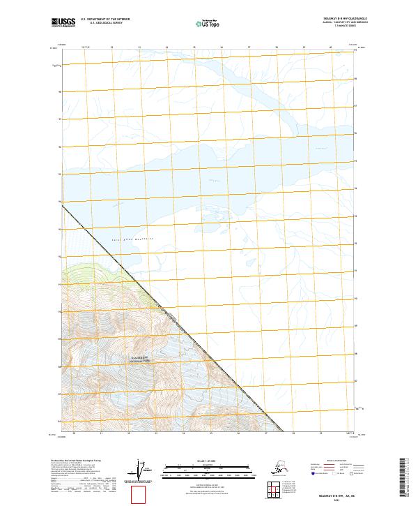
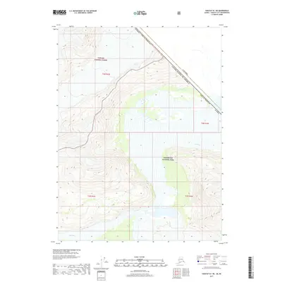
2021 Map of Skagway B-8 NW
USGS Topo · Published 2021About this map
The Alsek River dominates this northern Alaskan landscape, carving a wide valley through the high peaks of the Saint Elias Mountains. This survey documents a critical wilderness corridor where the river flows southeast toward the Pacific, flanked by the glacial ice and steep topography of Glacier Bay National Park. The map captures the international boundary where the Canada-United States border cuts diagonally across the rugged terrain, illustrating the remote and inaccessible nature of the Yakutat City and Borough region in the early twenty-first century.
Find a feature on this map
8 named features on this map. Tap any name to fly to it.
Don’t see what you’re looking for? This feature index may not catch every label — zoom into the map to look around manually.
Map Details
Editions of this 2021 Skagway B-8 NW Map
This is the sole edition of this map. No revisions or reprints were ever made.
Other maps of this area

1951 · Yakutat
USGS Topo · 1:250,000

1952 · Skagway
USGS Topo · 1:250,000

1959 · Yakutat B-1
USGS Topo · 1:63,360

1959 · Yakutat
USGS Topo · 1:250,000
1961 · Skagway B-8
USGS Topo · 1:63,360

1961 · Skagway
USGS Topo · 1:250,000
1985 · Yakutat C-1
USGS Topo · 1:63,360

1997 · Yakutat B-1
USGS Topo · 1:63,360
2017 · Yakutat C-1 SE
USGS Topo · 1:25,000
2017 · Yakutat B-1 NE
USGS Topo · 1:25,000