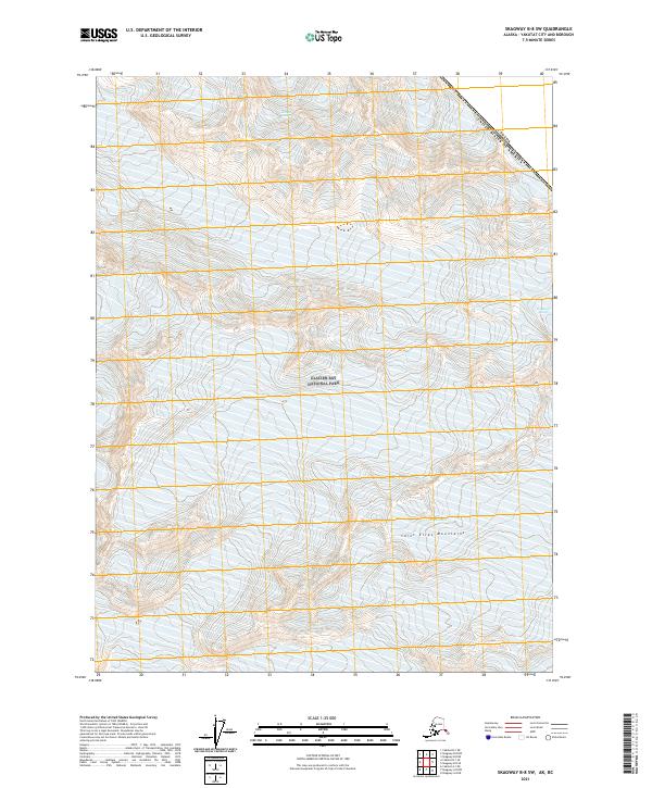
2021 Map of Skagway B-8 SW
USGS Topo · Published 2021About this map
Saint Elias Mountains define the high-altitude landscape of this remote section of the Alaska-Canada border. The entire American side of the boundary is preserved within Glacier Bay National Park, where the terrain transitions from steep alpine ridges to the deep glacial valleys characteristic of the northern Panhandle. This survey illustrates the intricate relationship between international boundaries and protected wilderness, as the line between Canada and the United States follows the crests of the massive peaks and icefields. The topography is dominated by extreme elevation changes and ice-carved features, representing a late twentieth-century and early twenty-first-century understanding of this protected coastal range.
Find a feature on this map
9 named features on this map. Tap any name to fly to it.
Don’t see what you’re looking for? This feature index may not catch every label — zoom into the map to look around manually.
Map Details
Editions of this 2021 Skagway B-8 SW Map
This is the sole edition of this map. No revisions or reprints were ever made.
Other maps of this area

1951 · Yakutat
USGS Topo · 1:250,000

1952 · Skagway
USGS Topo · 1:250,000

1959 · Yakutat A-1
USGS Topo · 1:63,360

1959 · Yakutat B-1
USGS Topo · 1:63,360

1959 · Yakutat
USGS Topo · 1:250,000
1961 · Skagway B-8
USGS Topo · 1:63,360

1961 · Skagway A-8
USGS Topo · 1:63,360

1961 · Skagway
USGS Topo · 1:250,000

1997 · Yakutat B-1
USGS Topo · 1:63,360
2017 · Yakutat B-1 NE
USGS Topo · 1:25,000