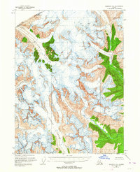
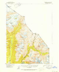
1991 Map of Skagway C-1 SW
USGS Topo · Published 1991About this map
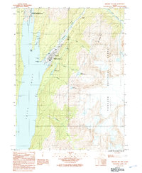
Klondike Gold Rush National Historical Park preserves the corridors of the historic northern passage, following the Taiya River and the legendary Chilkoot Trail. This 1991 survey details the lower portion of the route, where the settlement of Dyea once stood as a primary gateway for stampeders. The landscape is marked by the remnants of late 19th-century infrastructure, including Hosfords Sawmill and the former village at Canyon City (Site).
Find a feature on this map
31 named features on this map. Tap any name to fly to it.
Don’t see what you’re looking for? This feature index may not catch every label — zoom into the map to look around manually.
Map Details
Editions of this 1991 Skagway C-1 SW Map
This is the sole edition of this map. No revisions or reprints were ever made.
Other maps of this area
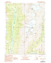
1948 · Skagway C-2
USGS Topo · 1:63,360
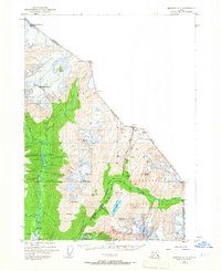
1948 · Skagway C-1
USGS Topo · 1:63,360
1949 · Skagway B-1
USGS Topo · 1:63,360
1951 · Skagway C-1
USGS Topo · 1:63,360
1951 · Skagway B-1
USGS Topo · 1:63,360
1951 · Skagway C-2
USGS Topo · 1:63,360

1952 · Skagway
USGS Topo · 1:250,000
1954 · Skagway B-2
USGS Topo · 1:63,360

1961 · Skagway
USGS Topo · 1:250,000
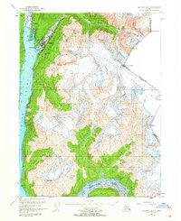
1991 · Skagway B-1 NW
USGS Topo · 1:25,000