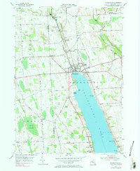
1955 Map of Skaneateles
USGS Topo · Published 1965About this map
Skaneateles Lake serves as the dominant feature of this mid-century landscape, its northern shoreline hosting the village of Skaneateles. The village is a hub of civic life, containing the Central High Sch and Elementary Sch, while the surrounding countryside is dotted with small communities like Mottville and Willow Glen. Northward, Skaneateles Creek winds toward Skaneateles Falls and Marysville, passing through terrain marked by historic turnpikes and family-named homesteads.
Find a feature on this map
81 named features on this map. Tap any name to fly to it.
Don’t see what you’re looking for? This feature index may not catch every label — zoom into the map to look around manually.
Map Details
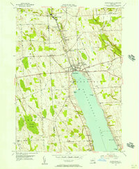
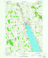
Editions of this 1955 Skaneateles Map
3 editions found
Other maps of this area

1899 · Auburn
USGS Topo · 1:62,500

1899 · Skaneateles
USGS Topo · 1:62,500

1900 · Baldwinsville
USGS Topo · 1:62,500

1902 · Skaneateles
USGS Topo · 1:62,500

1902 · Weedsport
USGS Topo · 1:62,500

1902 · Auburn
USGS Topo · 1:62,500

1943 · Jordan
USGS Topo · 1:31,680

1943 · Spafford
USGS Topo · 1:31,680

1943 · Owasco
USGS Topo · 1:31,680
1943 · Scipio
USGS Topo · 1:31,680