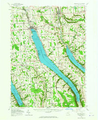
1955 Map of Skaneateles
USGS Topo · Published 1965About this map
The deep, glacial troughs of Skaneateles Lake, Otisco Lake, and the eastern tip of Owasco Lake dominate this mid-century portrait of Central New York. Industrial and community life centers on the northern outlets, particularly along the Skaneateles Short Line RR which connects the manufacturing hub of Skaneateles Falls through Mottville and Willow Glen to the village of Skaneateles. The terrain transitions from these busy rail corridors to the high ridges of Seneca Hill and Pumpkin Hollow, where the landscape is defined by agricultural drainage into Dutch Hollow Brook and Ninemile Creek.
Find a feature on this map
185 named features on this map. Tap any name to fly to it.
Don’t see what you’re looking for? This feature index may not catch every label — zoom into the map to look around manually.
Map Details
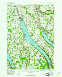
Editions of this 1955 Skaneateles Map
2 editions found
Other maps of this area

1895 · Syracuse
USGS Topo · 1:62,500

1898 · Syracuse
USGS Topo · 1:62,500

1898 · Moravia
USGS Topo · 1:62,500

1899 · Auburn
USGS Topo · 1:62,500

1899 · Skaneateles
USGS Topo · 1:62,500

1900 · Baldwinsville
USGS Topo · 1:62,500

1900 · Tully
USGS Topo · 1:62,500

1902 · Skaneateles
USGS Topo · 1:62,500

1902 · Moravia
USGS Topo · 1:62,500

1902 · Genoa
USGS Topo · 1:62,500