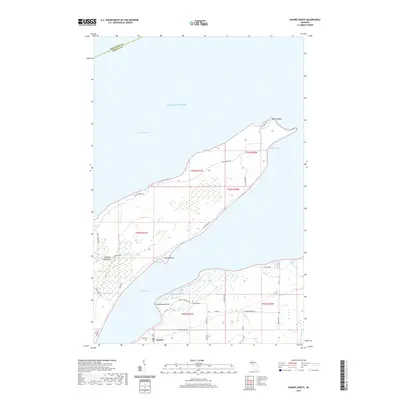
2019 Map of Skanee North
USGS Topo · Published 2019About this map
Abbaye Peninsula extends into the cold waters of Lake Superior, serving as a natural divider between Keweenaw Bay and Huron Bay. This coastal landscape is defined by its series of sheltered inlets and rocky projections, including Finlander Bay and the northernmost tip at Point Abbaye. On the mainland to the south, the settlement of Skanee anchors the local geography near the mouth of Peterson Creek.
Find a feature on this map
37 named features on this map. Tap any name to fly to it.
Don’t see what you’re looking for? This feature index may not catch every label — zoom into the map to look around manually.
Map Details
Editions of this 2019 Skanee North Map
This is the sole edition of this map. No revisions or reprints were ever made.
Other maps of this area

1954 · Traverse Island
USGS Topo · 1:24,000

1954 · Skanee
USGS Topo · 1:62,500

1954 · Keweenaw Bay
USGS Topo · 1:62,500

1958 · Hancock
USGS Topo · 1:250,000

1958 · Iron River
USGS Topo · 1:250,000

1960 · Iron River
USGS Topo · 1:250,000

1960 · Hancock
USGS Topo · 1:250,000

1961 · Iron River
USGS Topo · 1:250,000

1961 · Hancock
USGS Topo · 1:250,000

1966 · Hancock
USGS Topo · 1:250,000