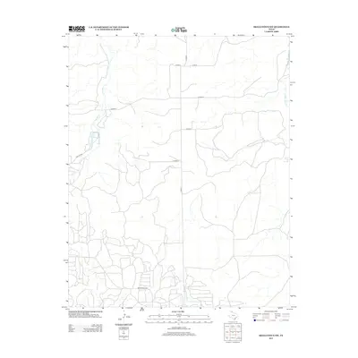
2012 Map of Skellytown NW
USGS Topo · Published 2012About this map
White Deer Springs and the headwaters of White Deer Cr anchor the eastern edge of this Hutchinson County landscape, reflecting the essential role of water in the Texas Panhandle. The terrain is defined by the winding course of Spring Cr and its tributaries, which cut through the high plains toward Jims Lake. While largely an open ranching environment, the 2012 survey shows a network of county roads including Co Road X and Co Road Y that facilitate movement across the cattle country. At the southern margin, Ranch Road 1059 serves as a primary artery, connecting local holdings and industrial sites to the broader region. This map provides a detailed view of the drainage patterns and land-use infrastructure in a part of Texas where geography is shaped by the subtle shifts in elevation between creeks and watering holes.
Find a feature on this map
13 named features on this map. Tap any name to fly to it.
Don’t see what you’re looking for? This feature index may not catch every label — zoom into the map to look around manually.
Map Details
Editions of this 2012 Skellytown NW Map
This is the sole edition of this map. No revisions or reprints were ever made.
Other maps of this area

1953 · Plemons
USGS Topo · 1:24,000

1953 · Borger SE
USGS Topo · 1:24,000

1953 · Phillips
USGS Topo · 1:24,000

1954 · Amarillo
USGS Topo · 1:250,000

1958 · Amarillo
USGS Topo · 1:250,000

1963 · Skellytown
USGS Topo · 1:24,000

1965 · Lake Mc Connell
USGS Topo · 1:24,000

1970 · Phillips
USGS Topo · 1:24,000

1971 · Skellytown NW
USGS Topo · 1:24,000

1971 · Skellytown NE
USGS Topo · 1:24,000