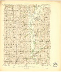
1941 Map of Skidmore
USGS Topo · Published 1941About this map
The Nodaway River carves a winding path through the heart of this rural landscape, acting as a natural corridor for both rail and settlement in the years leading up to World War II. The Chicago Burlington and Quincy Railroad parallels the river's eastern bank, connecting the agricultural hubs of Skidmore, Quitman, and Burlington Junction. This junction serves as a significant transit point where the Wabash Railway intersects, facilitating the movement of goods through the northern Missouri countryside.
Find a feature on this map
63 named features on this map. Tap any name to fly to it.
Don’t see what you’re looking for? This feature index may not catch every label — zoom into the map to look around manually.
Map Details
Editions of this 1941 Skidmore Map
This is the sole edition of this map. No revisions or reprints were ever made.
Other maps of this area
1920 · Craig
USGS Topo · 1:62,500
1926 · Maitland
USGS Topo · 1:62,500
1927 · Bolckow
USGS Topo · 1:62,500
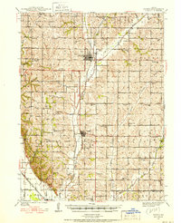
1939 · Tarkio
USGS Topo · 1:62,500
1939 · Farragut
USGS Topo · 1:62,500
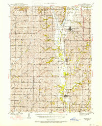
1939 · Skidmore
USGS Topo · 1:62,500
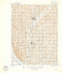
1940 · Tarkio
USGS Topo · 1:62,500
1940 · Farragut
USGS Topo · 1:62,500
1940 · Coin
USGS Topo · 1:62,500
1940 · New Market
USGS Topo · 1:62,500