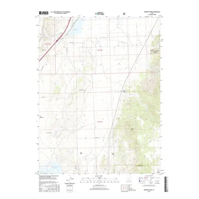
2017 Map of Skinner Peaks
USGS Topo · Published 2017About this map
Skinner Peaks dominate the eastern landscape of this Sanpete County quadrangle, rising above the transition where high elevations meet the Juab Valley. The drainage patterns are clearly defined by Chicken Creek and Chriss Creek, which flow toward the northwest, while the southern edge of the map is defined by the Sevier River and the upper reaches of the Sevier Bridge Reservoir. A substantial portion of the northeastern terrain is protected within the Uinta National Forest, contrasting with the more open, managed lands of the valley floor.
Find a feature on this map
27 named features on this map. Tap any name to fly to it.
Don’t see what you’re looking for? This feature index may not catch every label — zoom into the map to look around manually.
Map Details
Editions of this 2017 Skinner Peaks Map
This is the sole edition of this map. No revisions or reprints were ever made.
Other maps of this area

1885 · Manti
USGS Topo · 1:250,000

1885 · Sevier Desert
USGS Topo · 1:250,000

1895 · Manti
USGS Topo · 1:250,000

1951 · Nephi
USGS Topo · 1:62,500

1952 · Scipio North
USGS Topo · 1:62,500

1953 · Delta
USGS Topo · 1:250,000

1956 · Price
USGS Topo · 1:250,000

1958 · Delta
USGS Topo · 1:250,000

1960 · Price
USGS Topo · 1:250,000

1962 · Price
USGS Topo · 1:250,000