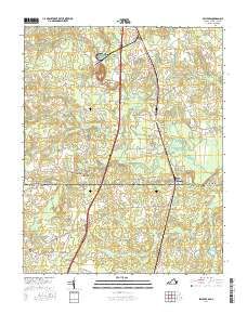
2016 Map of Skippers
USGS Topo · Published 2016About this map
The state boundary between Virginia and North Carolina bisects this landscape, separating Greensville County from Northampton County. The terrain is defined by an extensive network of wetlands and small waterways, including Fountains Creek, Caney Swamp, and Jacks Swamp, which dictate the placement of local thoroughfares and crossings. Small agricultural hubs and junctions such as Skippers, Turners Crossroads, and Brewers Crossroads provide a look at the rural settlement patterns near the interstate corridor.
Find a feature on this map
56 named features on this map. Tap any name to fly to it.
Don’t see what you’re looking for? This feature index may not catch every label — zoom into the map to look around manually.
Map Details
Editions of this 2016 Skippers Map
This is the sole edition of this map. No revisions or reprints were ever made.
Other maps of this area

1919 · Emporia
USGS Topo · 1:62,500

1919 · Arringdale
USGS Topo · 1:48,000

1920 · Arringdale
USGS Topo · 1:62,500

1942 · Arringdale
USGS Topo · 1:62,500

1942 · Emporia
USGS Topo · 1:62,500

1953 · Norfolk
USGS Topo · 1:250,000

1963 · Skippers
USGS Topo · 1:24,000

1963 · Barley
USGS Topo · 1:24,000

1963 · Emporia
USGS Topo · 1:24,000

1963 · Ante
USGS Topo · 1:24,000