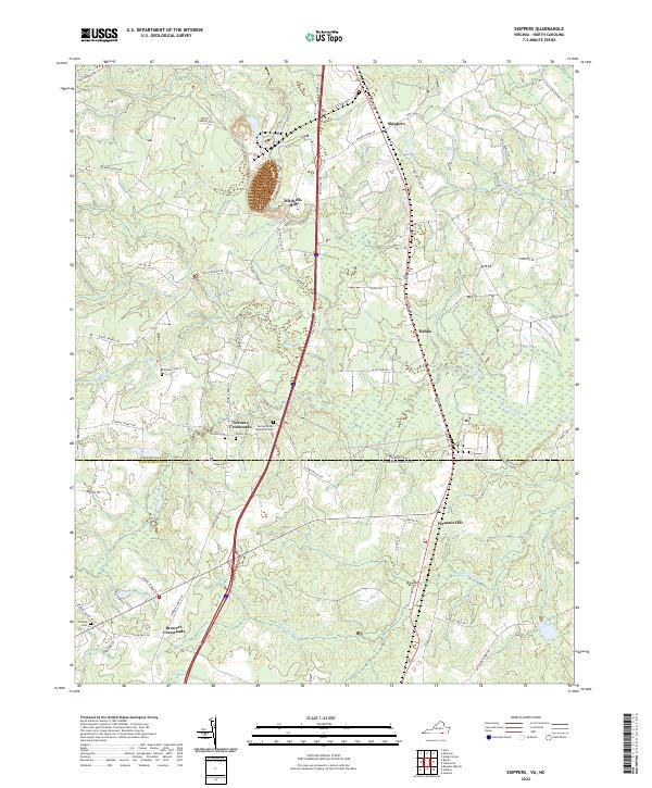
2022 Map of Skippers
USGS Topo · Published 2022About this map
The Virginia North Carolina border serves as the central axis for this landscape where the coastal plain begins its slow transition. In the northern portion of the map, the community of Skippers is situated among several drainages, including Caney Swamp and Massie Br. The agrarian character of the region is punctuated by long-established family and community sites, most notably Mitchells Mill and several small burial grounds such as Robinson Cem and Spring United Methodist Cem.
Find a feature on this map
61 named features on this map. Tap any name to fly to it.
Don’t see what you’re looking for? This feature index may not catch every label — zoom into the map to look around manually.
Map Details
Editions of this 2022 Skippers Map
This is the sole edition of this map. No revisions or reprints were ever made.
Other maps of this area

1919 · Emporia
USGS Topo · 1:62,500

1919 · Arringdale
USGS Topo · 1:48,000

1920 · Arringdale
USGS Topo · 1:62,500

1942 · Arringdale
USGS Topo · 1:62,500

1942 · Emporia
USGS Topo · 1:62,500

1953 · Norfolk
USGS Topo · 1:250,000

1963 · Skippers
USGS Topo · 1:24,000

1963 · Barley
USGS Topo · 1:24,000

1963 · Emporia
USGS Topo · 1:24,000

1963 · Ante
USGS Topo · 1:24,000