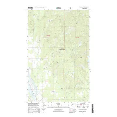
2017 Map of Skookum Creek
USGS Topo · Published 2017About this map
Kaniksu National Forest dominates this section of northeast Washington, where the terrain is defined by the drainage network of Skookum Creek and its many branches. The landscape is characterized by prominent elevations such as Cooks Mtn and Skookum Peak, providing a high-relief backdrop to a series of alpine and valley water bodies. To the west, the Pend Oreille River flows along the margin, serving as a primary geographical anchor for the region.
Find a feature on this map
46 named features on this map. Tap any name to fly to it.
Don’t see what you’re looking for? This feature index may not catch every label — zoom into the map to look around manually.
Map Details
Editions of this 2017 Skookum Creek Map
This is the sole edition of this map. No revisions or reprints were ever made.
Other maps of this area

1936 · Newport
USGS Topo · 1:96,000

1942 · Newport
USGS Topo · 1:125,000

1958 · Sandpoint
USGS Topo · 1:250,000

1963 · Sandpoint
USGS Topo · 1:250,000

1968 · Cusick
USGS Topo · 1:24,000
1968 · Diamond Lake
USGS Topo · 1:24,000
1968 · Jared
USGS Topo · 1:24,000
1968 · Newport
USGS Topo · 1:24,000
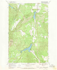
1968 · Sacheen Lake
USGS Topo · 1:24,000
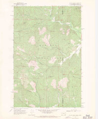
1968 · Galena Point
USGS Topo · 1:24,000