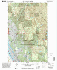
1996 Map of Skookum Creek
USGS Topo · Published 2000About this map
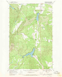
The Pend Oreille River defines the western edge of this landscape, its banks marked by the Kalispel Indian Reservation and the local Skookum Community Center. This 1996 update of the 1965 survey reveals a terrain of timber and high ridges, including Bear Paw Ridge and Skookum Peak, managed within the Kaniksu National Forest. The map shows a mix of recreational and scientific land use, from the State Fish Hatchery to the specialized Newport Geophysical Observatory (USGS). Numerous small bodies of water like Cooks Lake, Horseshoe Lake, and Bead Lake are tucked into the drainages of Skookum Creek and its various forks. Notable for local researchers is the network of forestry roads and light-duty paths, such as Le Clerc Road, that provide access to the high meadows and ridges typical of the Pacific Northwest forest interior.
Find a feature on this map
33 named features on this map. Tap any name to fly to it.
Don’t see what you’re looking for? This feature index may not catch every label — zoom into the map to look around manually.
Map Details
Editions of this 1996 Skookum Creek Map
This is the sole edition of this map. No revisions or reprints were ever made.
Other maps of this area

1936 · Newport
USGS Topo · 1:96,000

1942 · Newport
USGS Topo · 1:125,000

1958 · Sandpoint
USGS Topo · 1:250,000

1963 · Sandpoint
USGS Topo · 1:250,000

1968 · Cusick
USGS Topo · 1:24,000
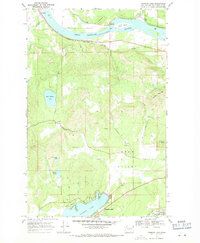
1968 · Diamond Lake
USGS Topo · 1:24,000
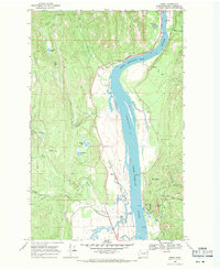
1968 · Jared
USGS Topo · 1:24,000
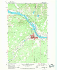
1968 · Newport
USGS Topo · 1:24,000
1968 · Sacheen Lake
USGS Topo · 1:24,000
1968 · Galena Point
USGS Topo · 1:24,000