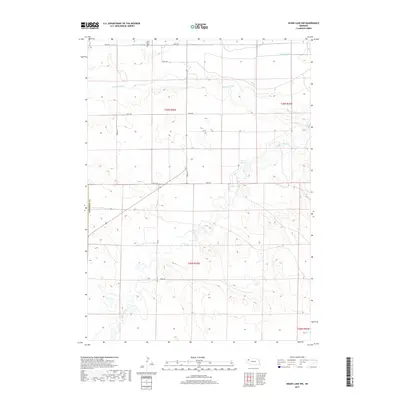
2017 Map of Skunk Lake NW
USGS Topo · Published 2017About this map
The Niobrara River winds across the northern sections of this High Plains landscape in Box Butte County, marking a stark contrast to the surrounding section lines and irrigation networks. While the river follows a natural, meandering path, the northern border of the map is defined by a sophisticated system of agricultural water management, including the Sturgeon Lateral, Peters Lateral, and Sturgeon Drain. These features speak to the long-standing reliance on water diversion to support ranching and farming in this arid region of western Nebraska.
Find a feature on this map
22 named features on this map. Tap any name to fly to it.
Don’t see what you’re looking for? This feature index may not catch every label — zoom into the map to look around manually.
Map Details
Editions of this 2017 Skunk Lake NW Map
This is the sole edition of this map. No revisions or reprints were ever made.
Other maps of this area

1947 · Box Butte NE
USGS Topo · 1:24,000

1947 · Box Butte
USGS Topo · 1:24,000

1949 · Box Butte NE
USGS Topo · 1:24,000

1949 · Box Butte
USGS Topo · 1:24,000

1950 · Skunk Lake
USGS Topo · 1:62,500

1955 · Alliance
USGS Topo · 1:250,000

1957 · Alliance
USGS Topo · 1:250,000

1958 · Alliance
USGS Topo · 1:250,000

1960 · Hay Springs SW
USGS Topo · 1:24,000

1960 · Hay Springs SE
USGS Topo · 1:24,000