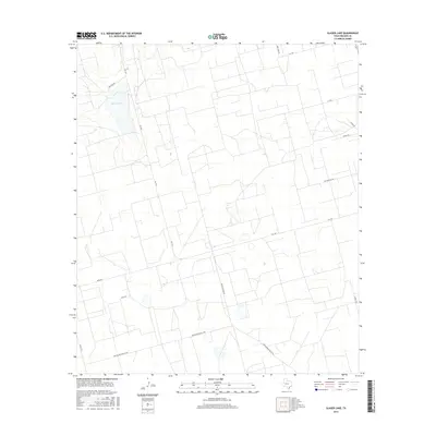
2016 Map of Slager Lake
USGS Topo · Published 2016About this map
Slager Lake and the surrounding arid landscape of Reagan County are captured here in the mid-2010s, revealing a grid of industrial and rural development. The terrain is defined by a dense network of private and utility roads that serve the region's energy interests, including Tank Farm Rd, Water Station Rd, and the extensive Southland Royalty Rd. These names hint at the heavy infrastructure required for local industry, while routes like FM 1357 and Cotton Flat Rd provide the primary transit through the parcel. The map's detail is particularly valuable for understanding the modern footprint of land use in this part of West Texas, where the intersection of named ways such as John Rd and Byrd Rd mark the transition from ranching heritage to modern resource management.
Find a feature on this map
14 named features on this map. Tap any name to fly to it.
Don’t see what you’re looking for? This feature index may not catch every label — zoom into the map to look around manually.
Map Details
Editions of this 2016 Slager Lake Map
This is the sole edition of this map. No revisions or reprints were ever made.
Other maps of this area

1928 · Rankin
USGS Topo · 1:125,000

1954 · San Angelo
USGS Topo · 1:250,000

1958 · San Angelo
USGS Topo · 1:250,000

1965 · San Angelo
USGS Topo · 1:250,000

1967 · Midkiff
USGS Topo · 1:24,000

1968 · Midkiff SE
USGS Topo · 1:24,000

1970 · Sevenmile Corner NE
USGS Topo · 1:24,000

1970 · Stiles NW
USGS Topo · 1:24,000

1970 · Stiles
USGS Topo · 1:24,000

1973 · Saint Lawrence SE
USGS Topo · 1:24,000