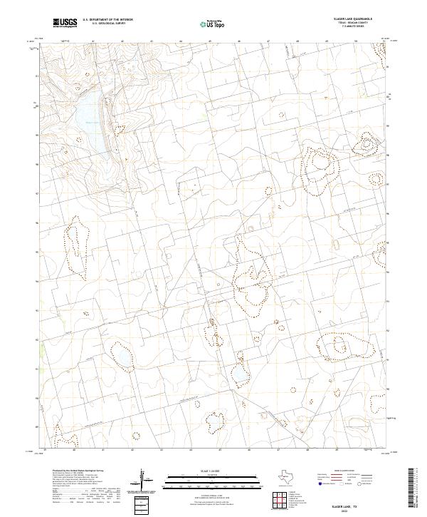
2022 Map of Slager Lake
USGS Topo · Published 2022About this map
Slager Lake anchors the northwest corner of this West Texas landscape, surrounded by a complex network of private and utility roads that speak to the region's industrial and agricultural character. The terrain is marked by the presence of large-scale ranching or energy infrastructure, evidenced by labels like Tank Farm Rd, Water Station Rd, and Southland Royalty Rd. These names suggest a landscape deeply tied to resource extraction and land management in Reagan County.
Find a feature on this map
14 named features on this map. Tap any name to fly to it.
Don’t see what you’re looking for? This feature index may not catch every label — zoom into the map to look around manually.
Map Details
Editions of this 2022 Slager Lake Map
This is the sole edition of this map. No revisions or reprints were ever made.
Other maps of this area

1928 · Rankin
USGS Topo · 1:125,000

1954 · San Angelo
USGS Topo · 1:250,000

1958 · San Angelo
USGS Topo · 1:250,000

1965 · San Angelo
USGS Topo · 1:250,000

1967 · Midkiff
USGS Topo · 1:24,000

1968 · Midkiff SE
USGS Topo · 1:24,000

1970 · Sevenmile Corner NE
USGS Topo · 1:24,000

1970 · Stiles NW
USGS Topo · 1:24,000

1970 · Stiles
USGS Topo · 1:24,000

1973 · Saint Lawrence SE
USGS Topo · 1:24,000