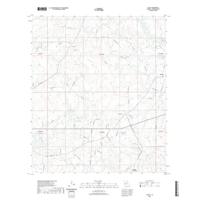
2020 Map of Slagle
USGS Topo · Published 2020About this map
Slagle and the northern reaches of North Fort Polk define this central Louisiana landscape, where the headwaters of several significant waterways converge. The topography is shaped by the Calcasieu River in the northeast and the extensive drainage systems of Bayou Castor, Whisky Chitto Cr, and Liberty Cr. These stream networks create a complex web of ridges and valleys that have historically dictated the placement of rural homesteads and burial grounds.
Find a feature on this map
82 named features on this map. Tap any name to fly to it.
Don’t see what you’re looking for? This feature index may not catch every label — zoom into the map to look around manually.
Map Details
Editions of this 2020 Slagle Map
This is the sole edition of this map. No revisions or reprints were ever made.
Other maps of this area

1941 · Leesville
USGS Topo · 1:62,500

1941 · Slagle
USGS Topo · 1:62,500

1942 · Florien
USGS Topo · 1:62,500

1942 · Kisatchie
USGS Topo · 1:62,500

1943 · Leesville
USGS Topo · 1:62,500

1943 · Kisatchie
USGS Topo · 1:62,500

1944 · Florien
USGS Topo · 1:62,500

1944 · Slagle
USGS Topo · 1:62,500

1946 · Leesville
USGS Topo · 1:62,500

1948 · Leesville
USGS Topo · 1:62,500