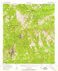
1954 Map of Slagle
USGS Topo · Published 1958About this map
Fort Polk Military Reservation dominates the landscape of Vernon Parish in this mid-century survey, illustrating the significant military footprint in central Louisiana. The extensive installation includes infrastructure like an Airfield, Helicopterport, and specialized amenities such as a Golf course and Swimming pool. Surrounding the reservation, the rural character remains preserved within the Kisatchie National Forest, where a dense network of country churches and small cemeteries marks the local geography. Notable community centers include Slagle and Hicks, while religious and social life is anchored by landmarks like Walnut Hill Church and Holly Springs Church. The transition from earlier industrial eras is visible in the Dismantled railroad corridors that cut through the forest, once serving the timber industry. Numerous waterways, including the Calcasieu River and Whiskey Chitto Creek, drain the wooded terrain, providing a look at the natural hydrology before modern expansion.
Find a feature on this map
59 named features on this map. Tap any name to fly to it.
Don’t see what you’re looking for? This feature index may not catch every label — zoom into the map to look around manually.
Map Details
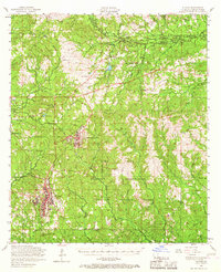
Editions of this 1954 Slagle Map
2 editions found
Other maps of this area

1937 · Chopin SW
USGS Topo · 1:31,680

1941 · Leesville
USGS Topo · 1:62,500

1941 · Slagle
USGS Topo · 1:62,500

1942 · Florien
USGS Topo · 1:62,500

1942 · Kisatchie
USGS Topo · 1:62,500

1943 · Leesville
USGS Topo · 1:62,500

1943 · Leander
USGS Topo · 1:62,500

1943 · Kisatchie
USGS Topo · 1:62,500

1944 · Chopin
USGS Topo · 1:62,500

1944 · Florien
USGS Topo · 1:62,500