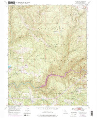
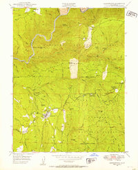
1950 Map of Slate Mtn
USGS Topo · Published 1976About this map
The Slate Mountains rise above the deep canyons of the South Fork American River in this 1950s era survey, later revised to reflect mid-century landscape changes. This corner of the Eldorado National Forest shows a transition from resource extraction to managed land use, evidenced by the Slate Mtn Mine (Inactive) and the Blodgett Experimental Forest. Local education and community life are anchored at the Mosquito District Sch and a nearby Cem, while agricultural footprints remain at Morton Ranch. The map captures the infrastructure of the era, from the Slate Mtn Lookout watching over the timber to the Finnon Res spillway. Traces of earlier industrial history appear in the dismantled railroad grades and former mining sites like the Badger Hill Mine.
Find a feature on this map
49 named features on this map. Tap any name to fly to it.
Don’t see what you’re looking for? This feature index may not catch every label — zoom into the map to look around manually.
Map Details
Editions of this 1950 Slate Mtn Map
4 editions found
Other maps of this area

1891 · Placerville
USGS Topo · 1:125,000

1892 · Placerville
USGS Topo · 1:125,000

1893 · Placerville
USGS Topo · 1:125,000

1947 · Sacramento
USGS Topo · 1:250,000

1948 · Sacramento
USGS Topo · 1:250,000

1949 · Georgetown
USGS Topo · 1:62,500

1949 · Placerville
USGS Topo · 1:62,500
1949 · Georgetown
USGS Topo · 1:24,000

1949 · Placerville
USGS Topo · 1:24,000
1949 · Garden Valley
USGS Topo · 1:24,000