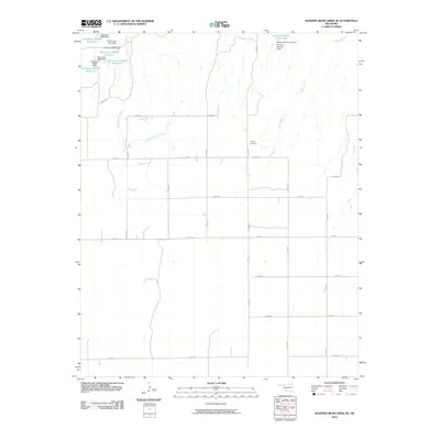
2010 Map of Sleeping Bear Creek SE
USGS Topo · Published 2010About this map
Sleeping Bear Creek and Traders Creek define the drainage patterns across this rural Woodward County landscape as it appeared in the early 21st century. The terrain is notably marked by an extensive network of small reservoirs and dams, reflecting 20th-century water management efforts for agricultural or livestock use. These include the Vandorn Number 3 Reservoir in the northeast and several numeric-coded sites like Oknoname 05922 Reservoir.
Find a feature on this map
30 named features on this map. Tap any name to fly to it.
Don’t see what you’re looking for? This feature index may not catch every label — zoom into the map to look around manually.
Map Details
Editions of this 2010 Sleeping Bear Creek SE Map
This is the sole edition of this map. No revisions or reprints were ever made.
Other maps of this area

1955 · Woodward
USGS Topo · 1:250,000

1958 · Woodward
USGS Topo · 1:250,000

1969 · Woodward
USGS Topo · 1:24,000

1969 · Mooreland
USGS Topo · 1:24,000

1969 · Woodward NE
USGS Topo · 1:24,000

1970 · Fairvalley SW
USGS Topo · 1:24,000

1970 · Alabaster Caverns
USGS Topo · 1:24,000

1970 · Sleeping Bear Creek SW
USGS Topo · 1:24,000

1970 · Sleeping Bear Creek NW
USGS Topo · 1:24,000

1970 · Sleeping Bear Creek SE
USGS Topo · 1:24,000