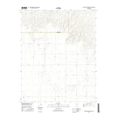
2016 Map of Sleeping Bear Creek SE
USGS Topo · Published 2016About this map
Sleeping Bear Creek and Traders Creek carve through this high plains landscape along the border of Harper and Woodward counties. The terrain is characterized by a series of drainage basins and reservoirs, including the Rittenhouse Gp Reservoir in the northwest and the Van Dorn Number 4 Reservoir to the northeast. Human presence is marked by a strict section-line road grid and the quiet presence of the Lathrop Cemetery near the center of the survey area. The local economy and land use are further evidenced by Oil Lease Rd, indicating the energy extraction that has long shaped this part of Oklahoma. This topographic study reflects the transition from agricultural grazing lands to managed water resources and mineral development in the early 21st century.
Find a feature on this map
29 named features on this map. Tap any name to fly to it.
Don’t see what you’re looking for? This feature index may not catch every label — zoom into the map to look around manually.
Map Details
Editions of this 2016 Sleeping Bear Creek SE Map
This is the sole edition of this map. No revisions or reprints were ever made.
Other maps of this area

1955 · Woodward
USGS Topo · 1:250,000

1958 · Woodward
USGS Topo · 1:250,000

1969 · Woodward
USGS Topo · 1:24,000

1969 · Mooreland
USGS Topo · 1:24,000

1969 · Woodward NE
USGS Topo · 1:24,000

1970 · Fairvalley SW
USGS Topo · 1:24,000

1970 · Alabaster Caverns
USGS Topo · 1:24,000

1970 · Sleeping Bear Creek SW
USGS Topo · 1:24,000

1970 · Sleeping Bear Creek NW
USGS Topo · 1:24,000

1970 · Sleeping Bear Creek SE
USGS Topo · 1:24,000