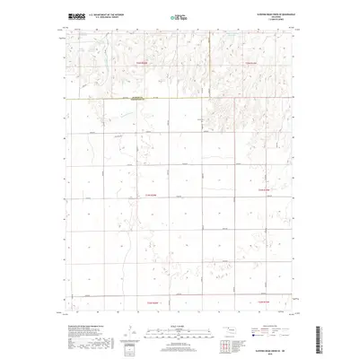
2018 Map of Sleeping Bear Creek SE
USGS Topo · Published 2018About this map
Lathrop Cem sits near the northern boundary of this Woodward County landscape, a marker of early settlement just south of the Harper County line. The terrain is defined by the drainage basins of Sleeping Bear Cr and Traders Cr, which cut through the high plains. Industrial activity is hinted at by the presence of Oil Lease Rd, indicating the local energy economy's footprint on the rural grid. This 2018 survey reveals a highly managed hydrological environment, evidenced by numbered catchments like Vandorn Number 3 Reservoir and others such as 05920 Reservoir and 05922 Reservoir. The map illustrates how section-line roads like E0300 Rd and NS 207 impose a precise order over the undulating geography of western Oklahoma.
Find a feature on this map
37 named features on this map. Tap any name to fly to it.
Don’t see what you’re looking for? This feature index may not catch every label — zoom into the map to look around manually.
Map Details
Editions of this 2018 Sleeping Bear Creek SE Map
This is the sole edition of this map. No revisions or reprints were ever made.
Other maps of this area

1955 · Woodward
USGS Topo · 1:250,000

1958 · Woodward
USGS Topo · 1:250,000

1969 · Woodward
USGS Topo · 1:24,000

1969 · Mooreland
USGS Topo · 1:24,000

1969 · Woodward NE
USGS Topo · 1:24,000

1970 · Fairvalley SW
USGS Topo · 1:24,000

1970 · Alabaster Caverns
USGS Topo · 1:24,000

1970 · Sleeping Bear Creek SW
USGS Topo · 1:24,000

1970 · Sleeping Bear Creek NW
USGS Topo · 1:24,000

1970 · Sleeping Bear Creek SE
USGS Topo · 1:24,000