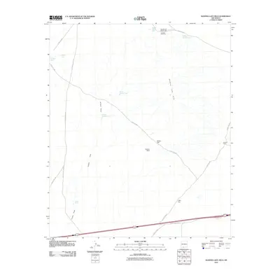
2010 Map of Sleeping Lady Hills
USGS Topo · Published 2010About this map
The Sleeping Lady Hills dominate this arid landscape, providing a striking backdrop to the pastoral and transit-focused features of Doña Ana County. In this high-desert region, the pattern of water management is clearly visible through a network of catchments such as North Kimble Tank, South Kimble Tank, and Middle Pasture Tank. These features, alongside Kimble Draw, suggest the essential infrastructure required for the Carralitos Ranch and Corralitos Side Camp to maintain cattle operations in a dry climate.
Find a feature on this map
24 named features on this map. Tap any name to fly to it.
Don’t see what you’re looking for? This feature index may not catch every label — zoom into the map to look around manually.
Map Details
Editions of this 2010 Sleeping Lady Hills Map
This is the sole edition of this map. No revisions or reprints were ever made.
Other maps of this area

1891 · Las Cruces
USGS Topo · 1:125,000

1893 · Las Cruces
USGS Topo · 1:125,000

1941 · Las Cruces
USGS Topo · 1:62,500

1941 · Aden
USGS Topo · 1:62,500

1943 · Aden
USGS Topo · 1:62,500

1943 · Corralitos Ranch
USGS Topo · 1:62,500

1943 · Afton
USGS Topo · 1:62,500

1943 · Las Cruces
USGS Topo · 1:62,500

1955 · Las Cruces
USGS Topo · 1:250,000

1958 · Las Cruces
USGS Topo · 1:250,000