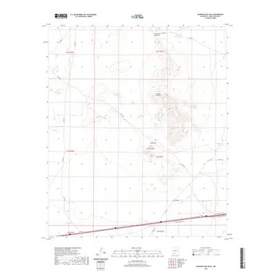
2020 Map of Sleeping Lady Hills
USGS Topo · Published 2020About this map
The Sleeping Lady Hills dominate this arid landscape in Doña Ana County, providing a series of natural landmarks such as Reichey Butte and numerous passage points. Navigation through the range is defined by specific topographical breaks, including Rough and Ready Gap at the northern edge, Middle Gap, and Little Gap further south. These features delineate the high ground from the surrounding flats, where the economy of the land is centered on water management for ranching.
Find a feature on this map
27 named features on this map. Tap any name to fly to it.
Don’t see what you’re looking for? This feature index may not catch every label — zoom into the map to look around manually.
Map Details
Editions of this 2020 Sleeping Lady Hills Map
This is the sole edition of this map. No revisions or reprints were ever made.
Other maps of this area

1891 · Las Cruces
USGS Topo · 1:125,000

1893 · Las Cruces
USGS Topo · 1:125,000

1941 · Las Cruces
USGS Topo · 1:62,500

1941 · Aden
USGS Topo · 1:62,500

1943 · Aden
USGS Topo · 1:62,500

1943 · Corralitos Ranch
USGS Topo · 1:62,500

1943 · Afton
USGS Topo · 1:62,500

1943 · Las Cruces
USGS Topo · 1:62,500

1955 · Las Cruces
USGS Topo · 1:250,000

1958 · Las Cruces
USGS Topo · 1:250,000