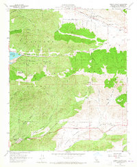
1958 Map of Sleepy Valley
USGS Topo · Published 1965About this map
San Andreas Rift Zone geology defines the northern landscape of this late 1950s survey, where Leona Valley follows the tectonic trough beneath Portal Ridge. The map captures a transition from the agricultural and ranching activity in the north to the protected high country of the Angeles National Forest. Distinctive family holdings and small settlements like Ritter Ranch, Los Robles Ranch, and Lincoln Crest are tucked into the canyons, while the Sierra Pelona Lookout stands as a sentinel over the southern peaks.
Find a feature on this map
54 named features on this map. Tap any name to fly to it.
Don’t see what you’re looking for? This feature index may not catch every label — zoom into the map to look around manually.
Map Details
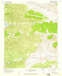
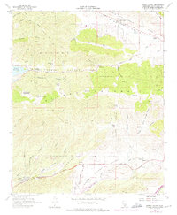
Editions of this 1958 Sleepy Valley Map
3 editions found
Other maps of this area

1900 · Tujunga
USGS Topo · 1:62,500

1900 · Fernando
USGS Topo · 1:62,500

1901 · Southern California Sheet No. 1
USGS Topo · 1:250,000

1904 · Southern California Sheet No. 1
USGS Topo · 1:250,000

1915 · Elizabeth Lake
USGS Topo · 1:125,000

1917 · Elizabeth Lake
USGS Topo · 1:125,000

1929 · Lang
USGS Topo · 1:24,000

1930 · Ravenna
USGS Topo · 1:24,000

1931 · Del Sur
USGS Topo · 1:24,000

1932 · Red Rover
USGS Topo · 1:24,000